Poles on the map
Plot the line, pole by pole
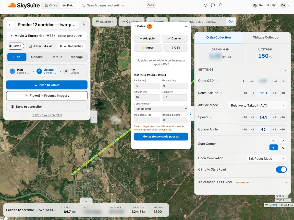
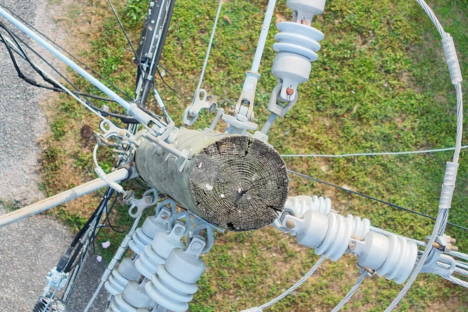
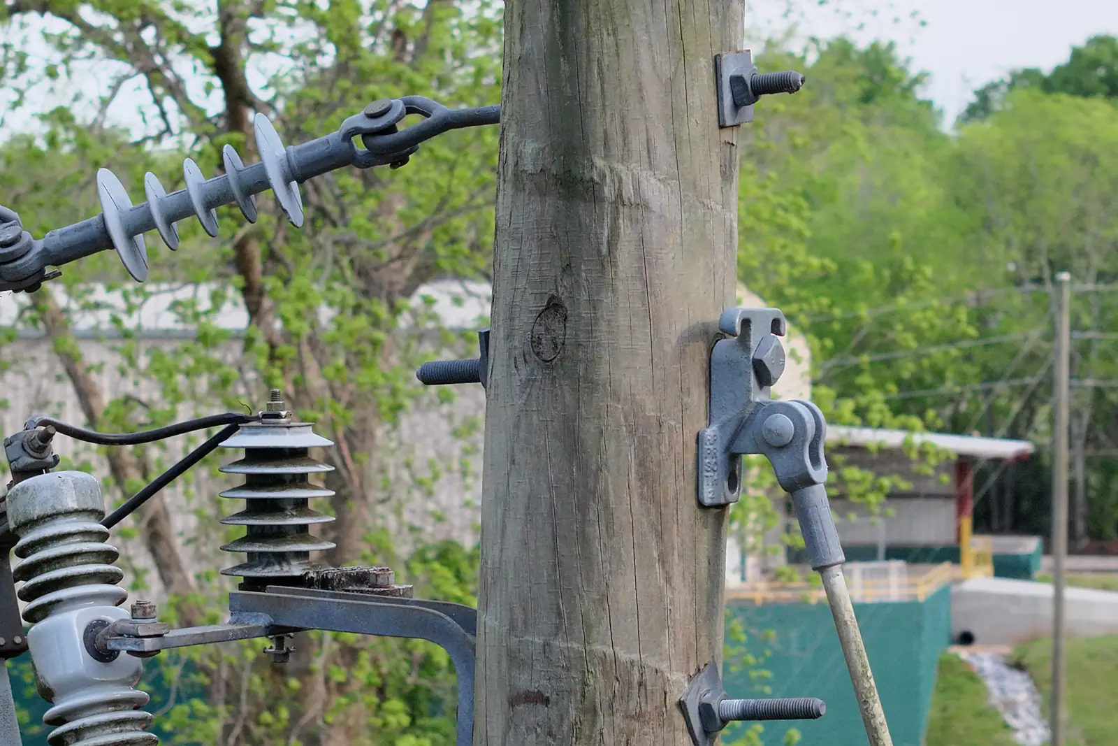
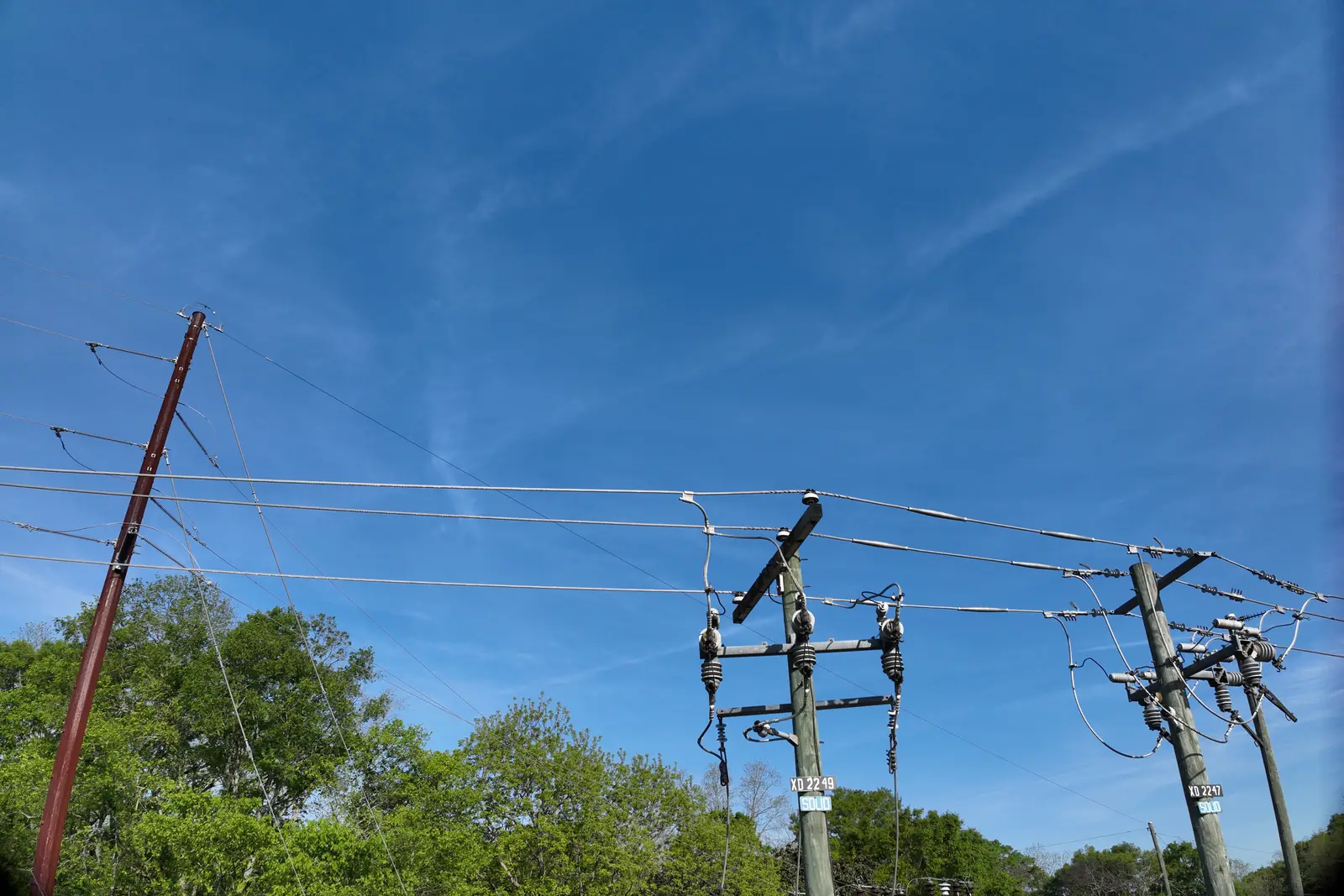
On a pole or corridor mission, the Poles panel replaces the mapping tools. Click the map to add each pole, or import them from a KML or KMZ of points, then connect the midspan lines between them. Corridor missions can generate per-pole orbit passes, with the radius, photos per ring, altitude and gimbal angle you set.
- Add poles on the map or import a KML/KMZ of points
- Midspan lines connected between poles
- Per-pole orbit passes as KMZ legs for the controller